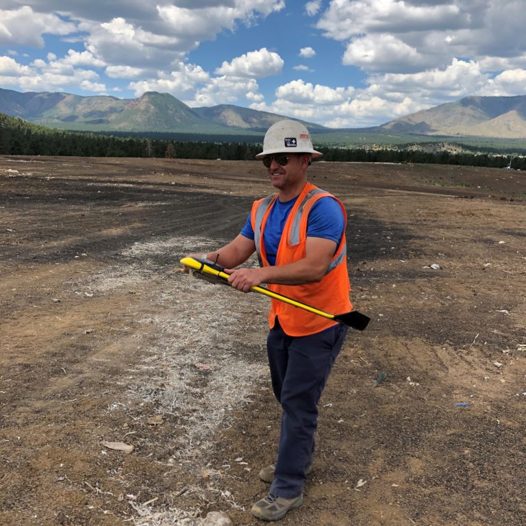
Telecommunication

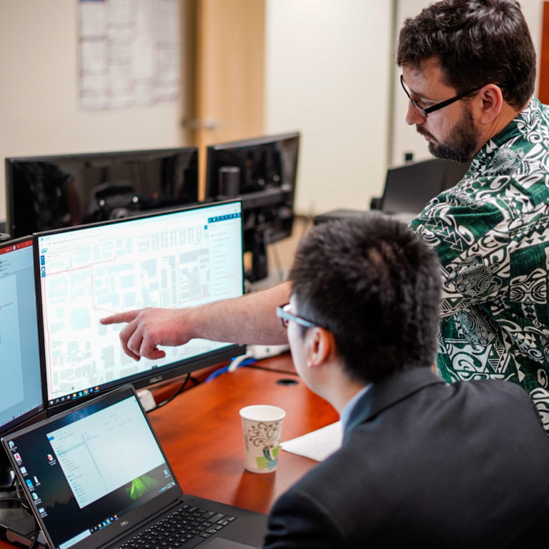
GIS & Mapping
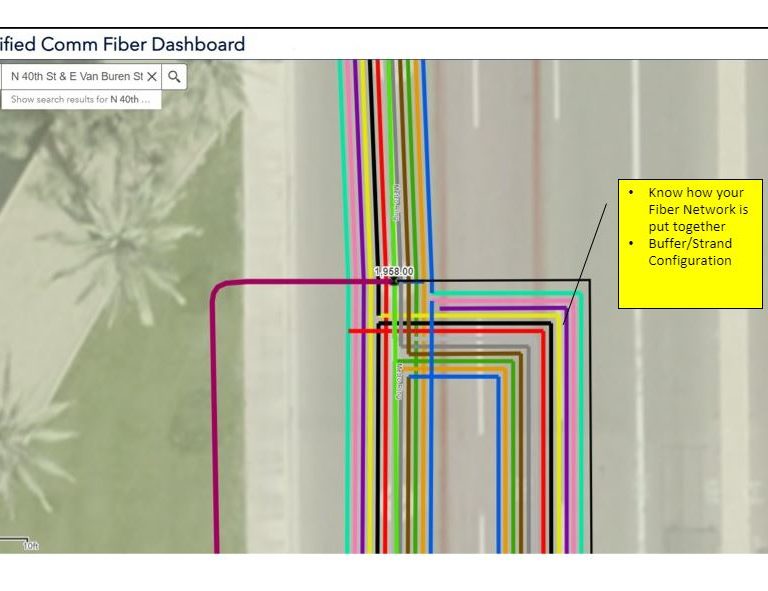
Network Management
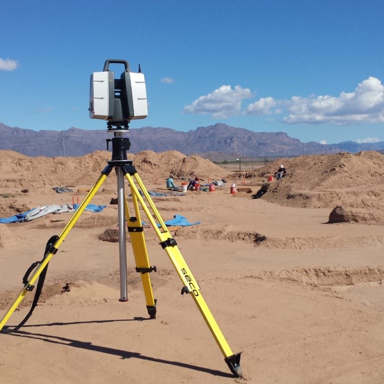
UAV Mapping
Design